The San Francisco Marathon Mile 12: Course Landmarks
The San Francisco Marathon Mile 12 STATS
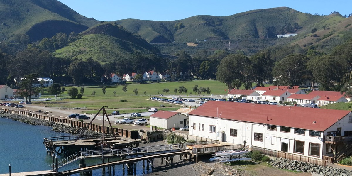
Neighborhood: Fort Baker to the Golden Gate Bridge
Elevation Change: Starts at 15’ and ends at 200’ (aggressive assent)Stations
Stations (water/food/toilet): Water at Trail Head/Headlands Parking
Best Spot for Family/Support: Trail Head/Headlands Parking
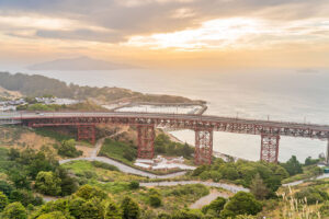
Get ready for a long steep climb in Mile 12. It’s such a scenic trail, where runners climb under the Golden Gate Bridge and up Conzelman trail.

This is a cool run, starting at Fort Baker , the 9th and final “Post-to-Park” conversion in the Golden Gate National Parks and a 335 acre former 1905 U.S. Army post located immediately north of the Golden Gate Bridge and onto the infamous San Francisco Golden Gate Bridge.
This starts on Moore Rd. Pier , where runners will go first under the bridge on Conzelman Rd. This will take you from sea level back up to the bridge at 200’. At the top of the climb is Trailhead/Headlands Parking. There will be a water station there and it’s a great place for support!
As we leave Mile 12 and go onto Mile 13 , we look forward to head over the full Bridge! Watch Mile 12 below and then click Next Mile…
![]()
![]()
Neurun is a course visualization app that equips you with the course knowledge and confidence to achieve your goals at The San Francisco Marathon. Download to start visualizing now.
Sponsored By