
The San Francisco Marathon Mile 1: The Embarcadero | Course Landmarks and Their History
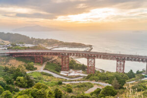
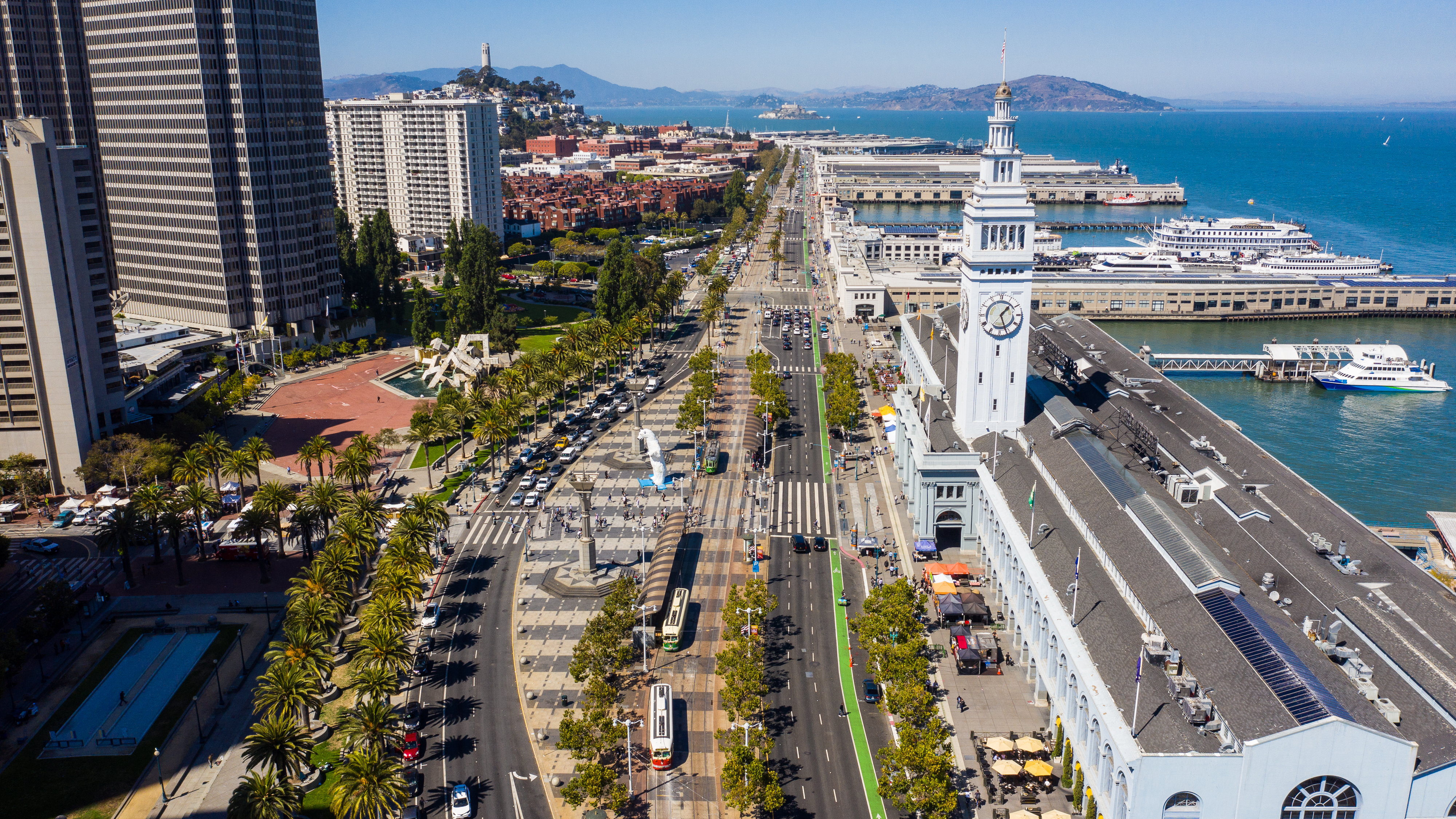
The San Francisco Marathon course takes you on a counterclockwise 26.2-mile tour along the Embarcadero of San Francisco, across the Golden Gate Bridge to Marin County, back to the Presidio and Golden Gate Park, to Haight Ashbury, the Mission, Potrero Hill, Dogpatch, and the finish line. Right at the start of Mile 1 of the San Francisco Marathon, you’ll run along the Embarcadero, a part of the city that used to be underwater.
Written by the San Francisco Marathon Ambassador Scott Benbow
The San Francisco Marathon’s course is both challenging and beautiful. In this guide series, you will learn about what to look for while you run through the streets of our gorgeous city.
While you rest up for the race, your family and friends may be interested in touring the city. Therefore, future installments of this guide will also offer recommendations for places to visit. This guide includes details about everything from top sights to topography and from natural wonders to fascinating history. San Francisco is a great destination for everyone from urban lovers to nature goers, and we hope you’ll love it as much as we do.
While this guide will mention some of the challenges facing each runner on the course, the primary purpose is to give you an introduction to this city of astonishing beauty.
Start to Mile 1: The Embarcadero
As you stand in your corral waiting to start the San Francisco Marathon, you’ll notice at least two things. First, it’s early. The Marathon starts before dawn so traffic disruptions, especially on the Golden Gate Bridge, are kept to a minimum.
The second thing you’ll notice is that the Embarcadero, where the race begins (and ends) is very flat. It’s the opposite of what a new visitor to the notoriously hilly city of San Francisco would expect.
How Did the Embarcadero Come to Be?
In the early 1800s, the land you’re running your first mile on was underwater. For the first few miles of the race, you will not encounter a single hill because this part of the Embarcadero is built on landfill. It used to be marshland. The 1849 Gold Rush changed that.
So singularly focused were the gold prospectors that many of them simply left their ships in San Francisco Bay. Over 1,000 ships from around the world were abandoned in this area. Initially, some were used for hotels and other temporary housing. Others were used as makeshift stores and bars.
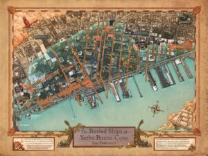
The Buried Ships of Yerba Buena Cove by Michael Warner et al., 2017
(San Francisco Maritime National Historical Park, National Park Service)
Over time, fires destroyed many of the wooden ships, and when San Francisco wanted to claim this part of the Bay to expand the land of the city, the ships were covered with more landfill.
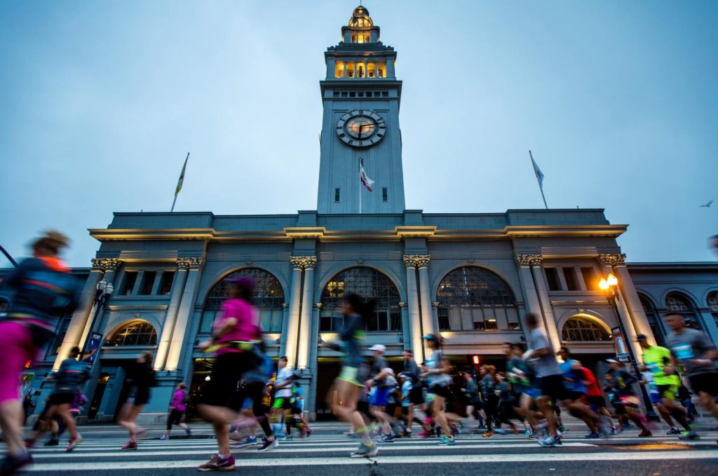
By 1898, when the Ferry Building (to the right of the start) was built, the topography looked much as it does today.
If you’re typically nervous at the beginning of a marathon, perhaps this unique archaeological history of San Francisco will help distract you!
More from the Course
Learn more about the sights of the course in our guides from past years!